How Do I Know Where My Property Line Is in De Soto, KS?
Installing a new fence is one of the best ways to improve your home’s privacy, security, and curb appeal. Before the first post hole is dug, however, there’s one critical question every homeowner should answer:
“How do I know where my property line is?”
Knowing your exact property boundaries is essential before building a fence. Installing a fence in the wrong location can lead to expensive repairs, disagreements with neighbors, code violations, and even legal disputes.
If you own property in De Soto, Kansas, there are several reliable ways to identify your property lines before construction begins.
At Slagle Fence, we encourage every homeowner to verify property boundaries before starting a fencing project. Here’s everything you need to know.
Why Property Lines Matter
Your fence should generally be installed on your property—not your neighbor’s.
Building over a property line can create problems such as:
- Neighbor disputes
- Costly fence relocation
- Delays in selling your home
- Encroachment claims
- Easement conflicts
Taking time to verify your boundaries before construction is far easier than correcting mistakes afterward.
1. Review Your Property Survey
The most accurate way to determine your property line is by reviewing your property survey.
A property survey is prepared by a licensed land surveyor and typically shows: 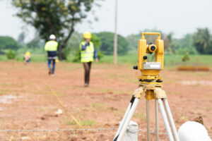
- Property boundaries
- Property dimensions
- Lot corners
- Easements
- Existing structures
- Utility easements
- Right-of-way lines
If you purchased your home relatively recently, a survey may have been included with your closing documents.
If you can’t locate it, your title company, lender, or county records may have a copy.
2. Check Your Plat Map
Many subdivisions have recorded plat maps that show:
- Individual lots
- Streets
- Easements
- Property dimensions
Plat maps are useful for understanding your neighborhood layout but should not be relied upon alone to physically locate property corners on the ground.
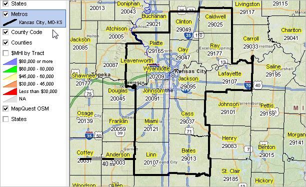
3. Use the Johnson County GIS Mapping System
Many De Soto properties are located in Johnson County, which provides an online Geographic Information System (GIS) mapping tool.
The GIS map allows homeowners to view:
- Parcel boundaries
- Property dimensions
- Aerial imagery
- Tax parcel information
These maps are excellent planning tools but are not a substitute for a professional survey, as parcel lines shown online are approximate and should not be used as the sole basis for fence placement.
4. Look for Survey Pins
Many residential lots have survey monuments (property pins) placed by surveyors at lot corners.
These markers are often:
- Steel rebar
- Metal rods
- Iron pipes
- Survey caps
They may be buried slightly below ground level or hidden beneath grass, mulch, or landscaping.
Avoid moving or disturbing survey monuments, as they are legal boundary markers.
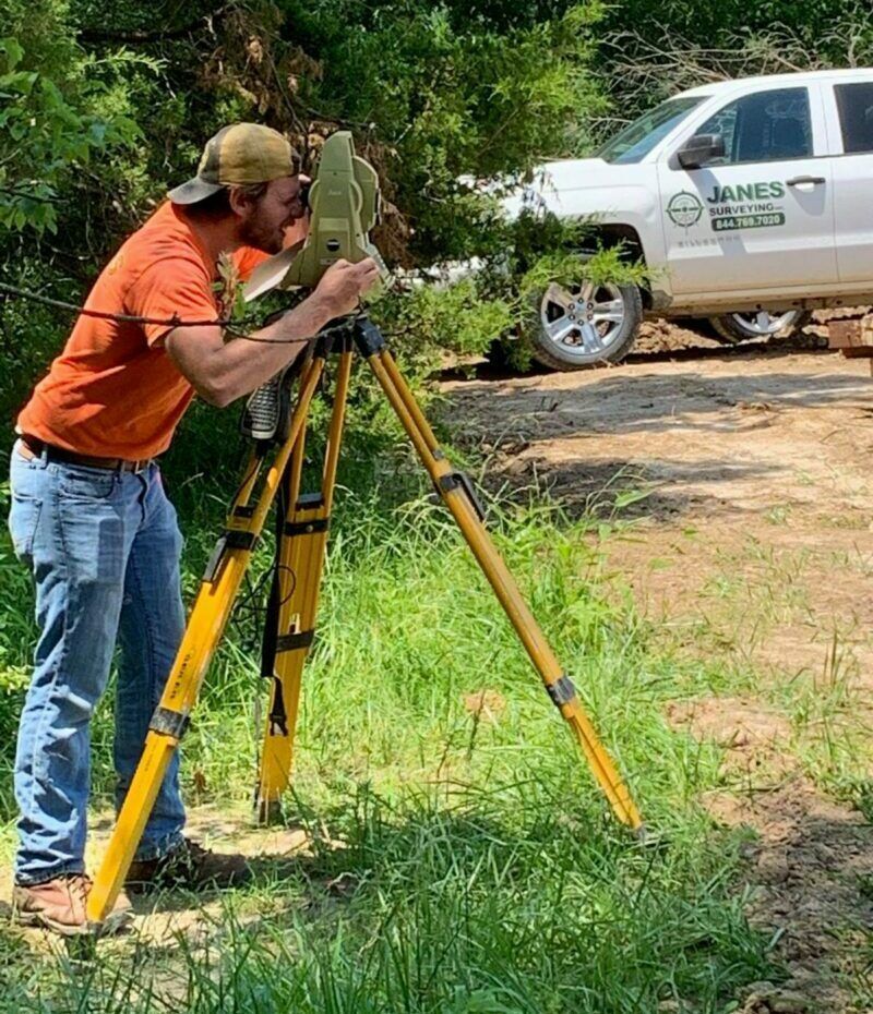
5. Hire a Licensed Land Surveyor
If there’s any uncertainty about your property boundaries, hiring a licensed Kansas land surveyor is the best investment you can make.
A surveyor can:
- Locate property corners
- Mark boundary lines
- Identify easements
- Resolve conflicting measurements
- Prepare updated documentation
This is especially important if:
- Your lot has irregular boundaries.
- Existing fences don’t appear to follow property lines.
- You’re replacing an older fence.
- You and your neighbor disagree about the boundary.
The cost of a survey is often far less than the expense of moving an incorrectly installed fence.
Existing Fences Aren’t Always on the Property Line
Many homeowners assume an existing fence marks the legal boundary. 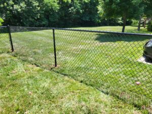
Unfortunately, that’s not always true.
Older fences may have been installed:
- Inside the property line
- Around landscaping
- To avoid utility easements
- Before current surveys existed
Never assume an existing fence accurately identifies your legal property line.
Watch for Utility Easements
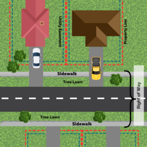 Even if you know your property boundaries, there may be utility easements that affect where a fence can be placed.
Utility easements allow utility companies to access underground infrastructure such as:
- Water lines
- Sewer lines
- Electric service
- Natural gas
- Fiber optic cables
Building within an easement may restrict future access or require fence removal if utility work becomes necessary.
Review your survey and consult local regulations before installing a fence across an easement.
Don’t Forget Kansas 811
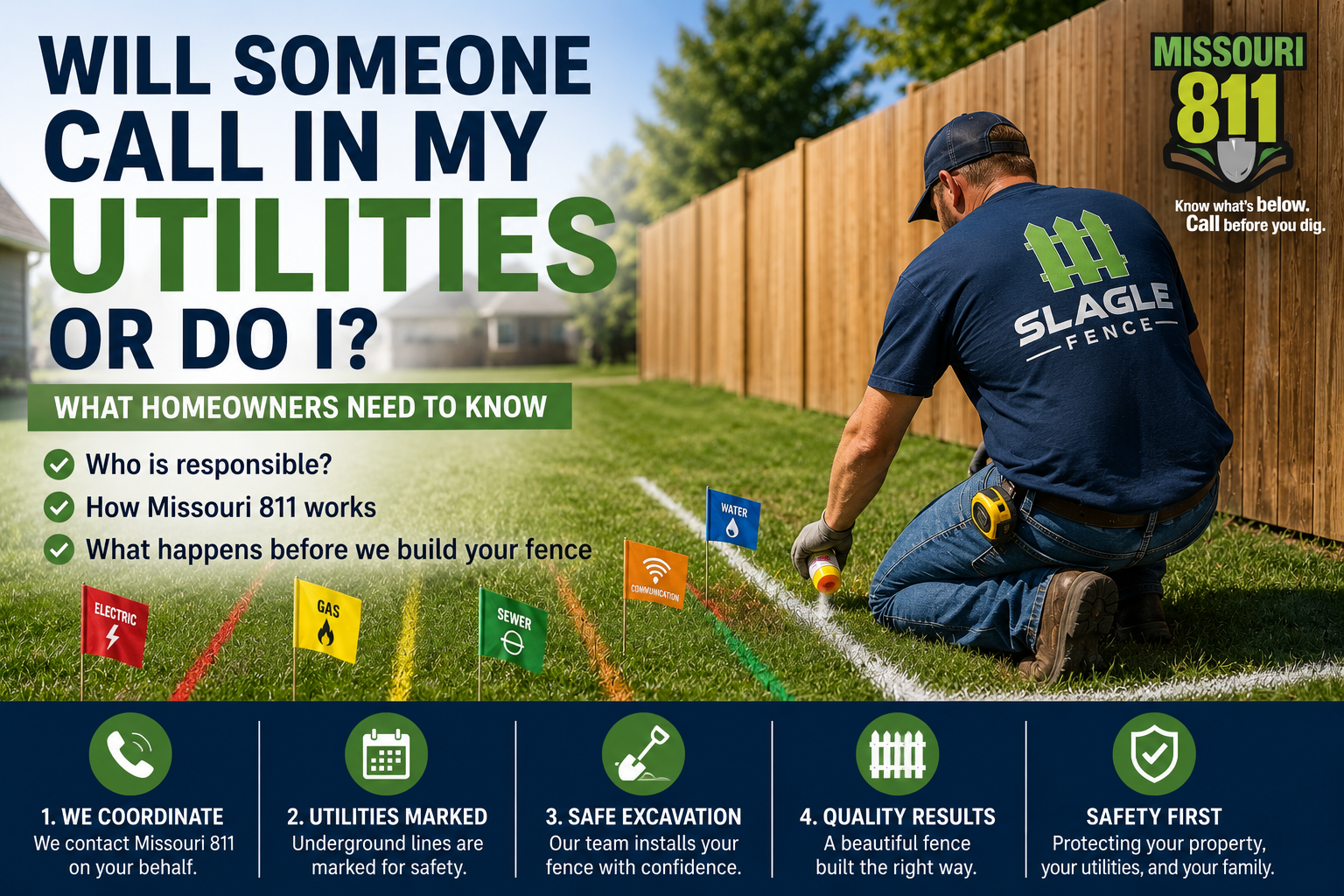
Before any digging begins, contact Kansas 811 (Kansas One Call).
Utility companies will mark underground:
- Gas lines
- Electric lines
- Water service
- Communication cables
- Fiber optic lines
This service helps prevent dangerous accidents and is required before excavation.
Talk With Your Neighbor
Even when you’ve confirmed your property line, it’s a good idea to let your neighbor know about your fencing plans.
A friendly conversation can:
- Prevent misunderstandings
- Clarify boundary questions
- Discuss gate placement
- Coordinate shared fence projects
- Build positive relationships
Good communication often prevents unnecessary disputes.
How Slagle Fence Helps
While homeowners are responsible for knowing their property boundaries, Slagle Fence works closely with customers throughout De Soto to help ensure every project starts off correctly.
We can help by:
- Reviewing surveys and site plans
- Discussing fence placement options
- Identifying potential challenges
- Coordinating with survey information
- Designing a fence that complies with local regulations
Our goal is to make your installation smooth, accurate, and stress-free.
Common Property Line Mistakes
Avoid these common errors:
- Guessing where the boundary is
- Using old fences as the only reference
- Relying solely on online maps
- Ignoring easements
- Skipping a survey when boundaries are unclear
- Failing to call Kansas 811 before digging
Taking the proper steps before construction begins can save significant time and money.
Frequently Asked Questions
Can I use the Johnson County GIS map to build my fence?
GIS maps are helpful for planning, but they are not legal surveys and should not be relied upon for precise fence placement.
What if I can’t find my property pins?
A licensed land surveyor can locate or replace missing property monuments.
Does my contractor determine my property line?
Professional fence contractors can work from a survey, but they generally do not establish legal property boundaries.
Should I talk to my neighbor first?
Yes. Open communication can help avoid misunderstandings and make the installation process much smoother.
Final Thoughts
If you’re asking “How do I know where my property line is in De Soto, KS?”, the best place to start is with your property survey. Reviewing your survey, checking your subdivision plat, using Johnson County’s GIS maps for reference, and hiring a licensed surveyor when needed can help ensure your fence is installed in the correct location.
Taking the time to verify your property lines before construction protects your investment, prevents disputes, and helps your project move forward with confidence.
At Slagle Fence, we’re committed to helping De Soto homeowners build beautiful, long-lasting fences while making the installation process as smooth as possible.